

- Home
- Companies
- Spottitt Ltd.
- Products
- Climate Conditions Monitoring
Climate Conditions Monitoring
Mitigate the effects of environmental conditions and extreme weather on your assets’ operational integrity and health. Identify the level of your assets` exposure to extreme weather conditions and climate change, Make well-informed operational decisions to reduce the vulnerability of assets at greater risk, Optimize your assets’ restoration action plan after an extreme weather event has happened
Extreme heat and cold, heavy rains, and windstorms can drastically damage or completely destroy equipment, cause power outages and wildfires, and other safety risks to power grids, utility pipelines, and infrastructure assets.
Renewable energy systems, such as solar and wind farms, can also be impacted by extreme weather events, affecting assets performance and output efficiency. Monitoring and understanding the changing climate and environmental conditions is essential to mitigate these risks and ensure optimal performance.
Ageing infrastructure adds to the challenge, making it a priority for maintenance managers.
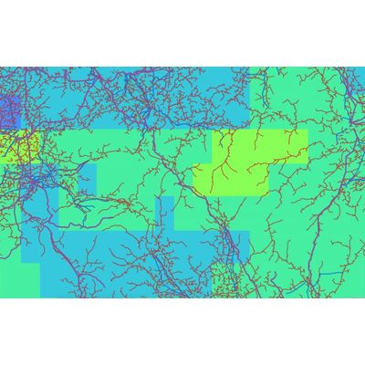
Backed by satellite analytics and AI technology, Spottitt MF? for Climate Conditions Monitoring provides comprehensive data to mitigate the impact of severe weather events on assets safety
Get up-to-date insight on climate and weather-related conditions in the area of your interest in near real-time and up to the past ten years.
- Wind speed
- Temperature
- Precipitation
- Wind direction
- Wind gust speed
- Relative humidity
- Skin temperature
- Soil moisture
- Lightning
- Dupont temperature
- UV radiation
Spottitt MF allows asset managers to get accurate geospatial analytics to track all possible risks on every meter of their assets, at scale, without breaking the budget
Satellite-based analyses to avoid any hardware installation or flight permits
We automated the full process of getting satellite data and transforming them into actionable insights
View, filter and integrate our metrics the way you need, without replacing your current management systems