

- Home
- Companies
- PVComplete
- Software
- Version PVCAD Mega - Multiple Megawatt ...
Version PVCAD Mega -Multiple Megawatt Layouts Software
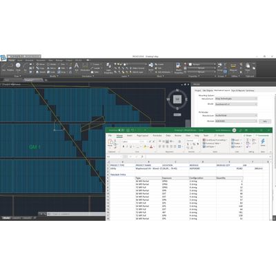
Multiple-megawatt layouts on complex terrain. Precise solar engineering built on Autodesk technology. Quickly complete site capacity layouts for utility-scale projects of any size using click-and-drag control and place tracker blocks at any angle within the project site. Schedule a demo below to receive a free trial and get started today.
Lightning Fast Automated Layouts
Quickly complete site capacity layouts for utility-scale projects of any size using click-and-drag control and place tracker blocks at any angle within the project site.
- Auto placement of partial tracker rows
- Place access roads & equipment pads
- Finish in 5 mins or less
Advanced topography analysis
Perform more accurate site assessments in less time by analyzing all piers, verifying that trackers can be deployed to specification.
- Import USGS, Google Earth, custom data
- Avoid false positives from limited pier data
- Improve cost control
Side-by-side comparisons
Eliminate guesswork and see how modifying structural and electrical components affect system design and performance estimates.
- Compare fixed tilt & single-axis trackers
- Thin-film vs crystalline silicon modules
- GCR, Output capacity & production values
Pier & Top-of-Pile plans
Generate automatic pier plans with pier locations, corresponding surface altitude, and top-of-pile reports for leading tracker systems, including Nextracker and Array Technologies.
- Calculate pier data for trackers or fixed-tilt tables
- Specify pier location, surface altitude, reveals, top of pile
- Export CSV files for data portability
Export to PVSyst
Easily export your design to PVSyst for bankable energy yield modelling
- Automatically generate a PVSyst shade scene (.SHD) file
- Also generates a project file (.PRJ) and meteo file (.MET)
- Open the files in PVSyst to model the energy yield including topography effects