

Model EagleView Reveal - Portfolio of High-Resolution Aerial Imagery
EagleView Reveal™ is a portfolio of high-resolution aerial imagery derived from unique image capture and processing systems pioneered by EagleView, formerly Pictometry. With highly detailed orthomosaic and oblique imagery and 360-degree views, Reveal delivers a complete virtual solution for making accurate planning decisions without the time, expense, and safety risk of on-site visits.
With a 3-inch or better Ground Sample Distance you’ll see details on the ground that are undetectable with standard aerial imagery¹, so you can make critical decisions without estimates or guesswork.
Go There Remotely
Visit and inspect thousands of sites virtually from your desktop, keeping employees safe and helping them be more productive. Proactively monitor the condition of field assets that are difficult or expensive to physically inspect.
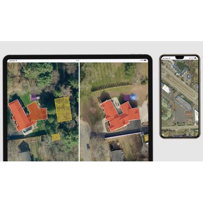
See the Complete Picture
Reveal’s oblique imagery gives you a 360-degree view that doesn’t limit you to a single perspective. Detailed views of an entire property are at your fingertips.
Get Coverage You Can Count On
Reveal’s frequently updated imagery covers 98% of the United States population. Our database contains more than 1 billion images detailing both urban and rural areas.
Stay Up to Date
EagleView’s ChangeFinder² enables you to select a past date and see what’s been built or modified since then, so tax rolls and property records can be more frequently updated.
Reveal imagery is accessible via the web or on mobile devices through EagleView’s CONNECT suite of applications.
Reveal integrates seamlessly with the applications government officials use most frequently to perform their jobs, including Esri ArcGIS, CAMA systems, and E911 systems. With Reveal, government organizations can make their budget go further while delivering better service to the community.
Different decisions require different types of imagery. The Reveal product family has three standard offerings plus optional add-ons and a choice of resolution.
Reveal Essentials
- A true top-down view of your entire county
- Includes standard ortho imagery
Reveal Essentials+
- Top-down and 360-degree views of every parcel and property
- Includes standard ortho and oblique imagery
Reveal Advanced
- Everything you need to make the best decisions
- Includes certified ortho imagery, oblique imagery, Four Band Color Infrared imagery, and TrueTouch