

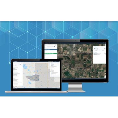
Pivvot - Project Area Analysis Solution
Drop a location, upload a polygon or draw a route on our simple and intuitive map and immediately access detailed crossing and impact reports for any project area in the U.S.
- Upload or sketch project areas to evaluate the surrounding environment
- Generate detailed crossing and impact reports in minutes
- Download a permit matrix highlighting Federal permit requirements
- View endangered species, parcels, wetlands and more to understand project area impact
- Deliver crossing and impact reports to regulatory, environmental, and engineering teams
- Access social vulnerability and political boundary data with one click
- Assess maintenance projects with more detail for better cost estimation
- Analyze floodplains, land ownership, and protected areas to obtain permits
- Model project site alternatives to avoid environmental and land-owner issues
Step 1: Get Pivvot Subscription
Upload or sketch areas of interest to immediately analyze your project’s surroundings.
Step 2: Identify Obstacles & Permitting Issues
Analyze land ownership, floodplains, endangered species habitats and more to build permit lists.
Step 3: Reduce Environmental Impact
Understand environmentally sensitive areas surrounding your electric transmission corridor to reduce risk.
Step 4: Expedite Schedules & Save Money
Conduct environmental impact assessments from your laptop to reduce or avoid time in the field and save money.
- Reduce Costly Impact Studies & Time in Field
- Avoid Land Barriers and Protected Lands
- Compare project sites side-by-side to Select the Best Location
ANALYZE THE JURISDICTIONAL BOUNDARIES SURROUNDING YOUR PROJECT TO GENERATE A LIST OF PERMITS
- Download a Permit Matrix for any project area in Minutes
- Evaluate Federal Jurisdictions backed by Up-to-Date Data
- Upload Subject Matter Expert Data to Include in Analysis