

- Home
- Companies
- Qingdao Leice Transient Technology Co., ...
- Products
- Leice - Model WindMast PBL(M) - ...
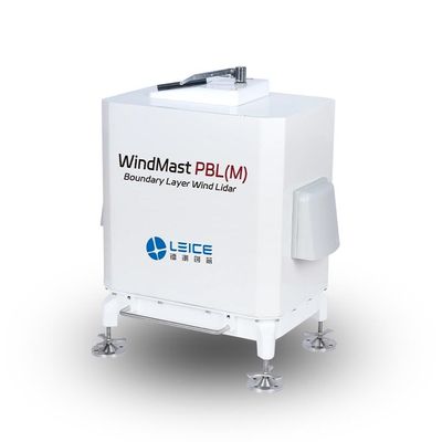
Leice - Model WindMast PBL(M) -Boundary Layer Wind Lidar
WindMast PBL(M) Boundary Layer Wind Lidar is based on the optical pulse coherence Doppler frequency shift detection principles. It is capable of fine detection of three-dimensional wind fields within the atmospheric boundary layer, up to a height of 3000 meters.
It outputs real-time data products such as wind profiles, turbulence intensity, vertical airflows, boundary layer height, cloud base height, signal-to-noise ratio, backscatter coefficient, and ground temperature, humidity, and pressure.
It is widely used in meteorological and climate research, meteorological model assimilation, atmospheric flux and pollutant regional transport diffusion studies, and low-altitude wind shear detection.
- High accuracy
- High resolution
- Flexible deployment
- Unmanned operation
- High robustness
- Eye-safe
- Low power consumption
- Laser Wavelength: 1550nm
- Maximum Detection Distance: 3000m
- Spatial Resolution: 15m/30m/60m/150m(configurable)
- Time Resolution: 1s~10min(configurable)
- Wind Speed Measurement Accuracy : ≤0.1m/s
- Wind Direction Measurement Accuracy : ≤3°
- Weight: <35kg
Radial velocity, spectral width, spectral intensity, signal-to-noise ratio, horizontal wind speed, horizontal wind direction, vertical airflow, wind shear, turbulence intensity, wind shear index, backscatter coefficient, cloud base height, boundary layer height, ground atmospheric temperature, humidity, pressure data.
- Air Quality Improvement and Management in Key Regions
- Fine Traceability of Atmospheric Particulate Matter Pollution
- Analysis of Atmospheric Pollution Causes
- Meteorological Support for Fire Emergency Rescue
- Wind Measurement Network in Complex Terrain
- Integrated Meteorological Observation and Service Platform
- Refined Meteorological Observation and Forecasting
- Wind Power Prediction
- Preliminary Survey of Onshore and Offshore Wind Resources