
- Home
- Companies
- Qingdao Leice Transient Technology Co., ...
- Products
- Leice - Model PBL(MV) - Boundary Layer ...
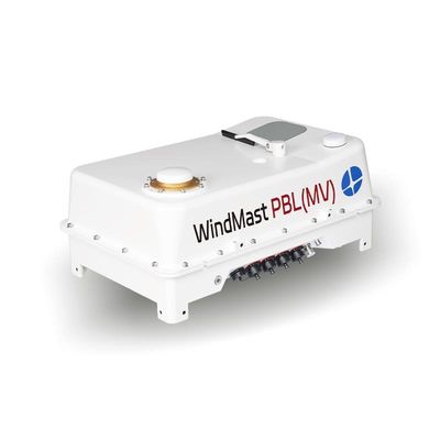
Leice - Model PBL(MV) -Boundary Layer Wind Lidar
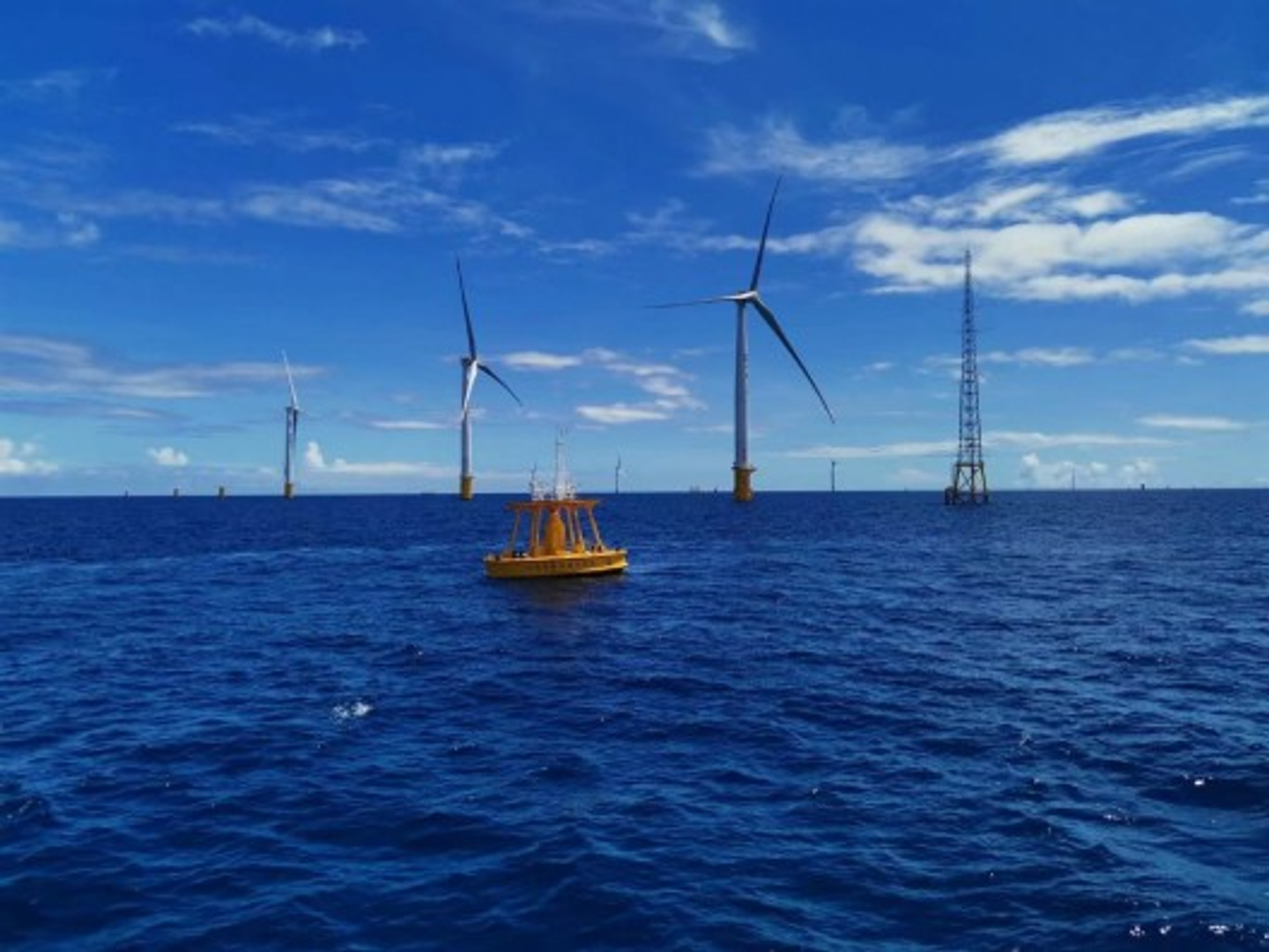
WindMast PBL(MV) Boundary Layer Wind Lidar is based on optical coherent Doppler frequency shift detection principles. It is designed to meet the requirements for high-precision, refined detection of three-dimensional atmospheric wind fields within the atmospheric boundary layer up to a height of 3000m. The lidar is equipped with an integrated inertial navigation system (INS) and motion platform attitude correction algorithms, enabling real-time correction of wind field data. Its flat and lightweight design allows for flexible installation on various moving platforms, such as vehicles and vessels. This adaptability overcomes terrain and environmental limitations, enabling rapid wind field detection across plains, mountainous areas, and oceans. The system boasts broad application prospects across multiple scenarios.
- Long Range Detection
- Flat design
- Real-time attitude correction
- Low power consumption
- Data products integrated with GIS visualization
- Compatible mobile platforms
- High robustness
- Laser Wavelength: 1550nm
- Maximum Detection Distance: 3000m
- Spatial Resolution: 15m/30m/60m/150m(configurable)
- Time Resolution: 1s~10min(configurable)
- Wind Speed Measurement Accuracy : ≤0.1m/s
- Wind Direction Measurement Accuracy: ≤3°
- Weight: <30kg
Wind profiles, vertical airflow, signal-to-noise ratio, and aerosol backscatter coefficient profiles.
- Air Quality Improvement and Management in Key Regions
- Fine Traceability of Atmospheric Particulate Matter Pollution
- Analysis of Atmospheric Pollution Causes
- Meteorological Support for Fire Emergency Rescue
- Wind Measurement Network in Complex Terrain
- Integrated Meteorological Observation and Service Platform
- Refined Meteorological Observation and Forecasting
- Wind Power Prediction
- Preliminary Survey of Onshore and Offshore Wind Resources