
VORTEX FdC
- Home
- Companies
- VORTEX FdC
- Software
- Vortex MAPS - Regional Wind Resource ...


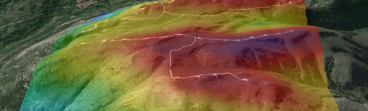
Vortex MAPS - Regional Wind Resource Mapping
FromVORTEX FdC
Vortex MAP will provide you with the regional wind resource in a large area in the prospection phase of the wind farm development.
Most popular related searches
When a large unknown area is explored, well before measurements are available.
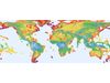
- Areas at any region worldwide, both onshore and offshore.
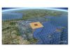
- Vortex MAPS can be simulated at either 3 km or 1 km spatial resolution.
- Areas of up to 400,000 km² for Vortex MAPS simulated at a 3 km spatial resolution, and up to 40,000 km² for those at a 1 km resolution.
- Areas are fully selectable in size and location.
- Heights included range from 50 m to 300 m.
- Variables included are long-term mean wind, temperature, and air density.
- Exportable to Google Earth KML or ESRI grid formats.
- Find here more information about pricing and delivery time.