

FUROW
Most popular related searches
Inputs
- Elevation data
- Roughness data
- Bathymetry maps
Calculations
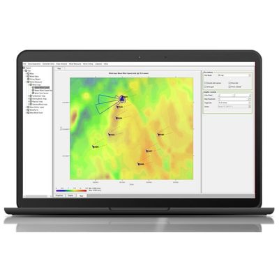
- In order to generate all wind resource maps, users must select one clima object* and one topographic grid container object.
- * A clima object shows a summary of the climatology of the site to do all wind resource calculations
Outputs
- Site data:
- Turbulence
- Atmospheric
- Physical maps