
VORTEX FdC
- Home
- Companies
- VORTEX FdC
- Software
- Vortex FARM - Wind Resource Grid (WRG) ...


Vortex FARM - Wind Resource Grid (WRG) Files
FromVORTEX FdC
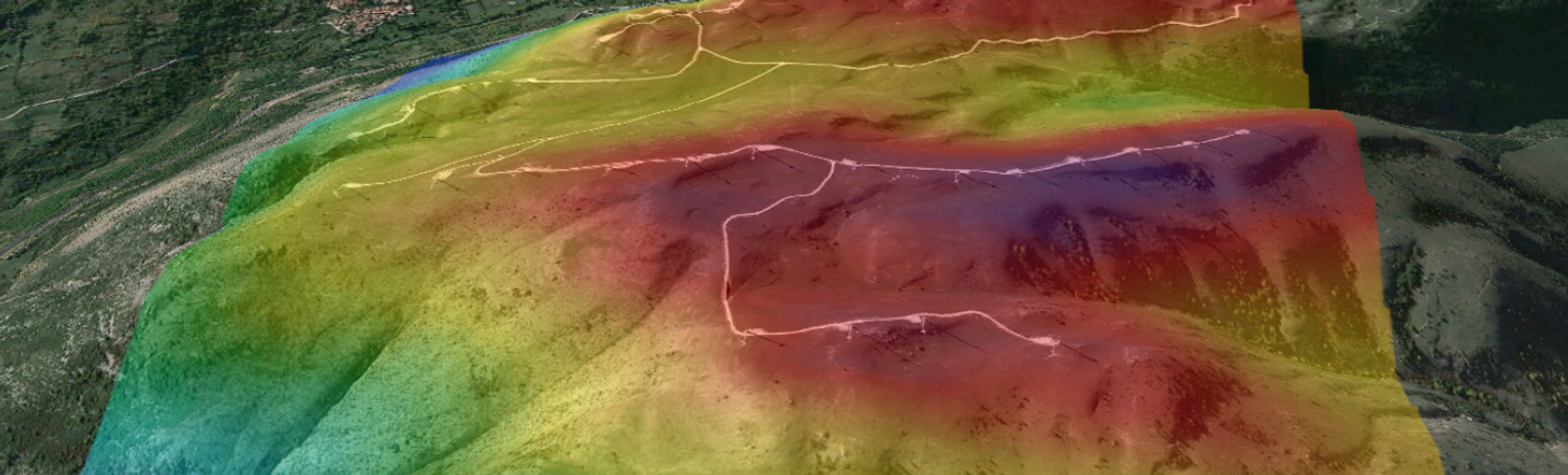
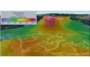
The Vortex FARM product is a high-resolution map ready to use when the wind farm area is already selected, but not yet the turbine locations or their class. It has been developed to support AEP analysis, wind farm layout design, and site suitability impact studies, facilitating the decision-making process at the wind farm pre-construction stage. Vortex FARM includes long-term statistics at all heights within an area, plus high-resolution temperature, mean wind speed, extreme wind speed (Vref), and turbulence
intensity maps, having the ability to be calibrated with measurements.
Most popular related searches
wind farm
wind farm engineering
met mast
wind farm construction
wind resource
turbulator
wind farm site
wind industry
wind turbulence
When the wind farm area is already selected but not yet the turbine locations or their class.
- Fully selectable areas in size (up to 4000 km²), location and orientation.
- The FARM area is rectangular with a fixed aspect ratio.
- 100 m resolution.
- All heights between 30 and 300 m.
- It is possible to calibrate with measurements.
- Unlimited met mast measurement inputs for calibration purposes.
- Both WRG files, calibrated and uncalibrated, will be available to download.
- Unlimited turbine location outputs within the selected area.
- It is possible to extract .tab files at any point on the map.
- Wind speed histograms with their Weibull fits.
- 16 sectors wind direction rose.
- 50 years extreme wind speed (Vref) via 30 years Gumbel fit.
- Characteristic turbulence intensity distribution in speed bins.
- Sector-wise inflow angle and vertical shear.
- Exportable to Google Earth KML, ESRI grid, WAsP WRG files for WindPro, WindFARMer, OpenWind and WRB files for OpenWind.